Best Land Surveyors in Whakatane
Published 6 March 2025 · Updated 7 July 2026
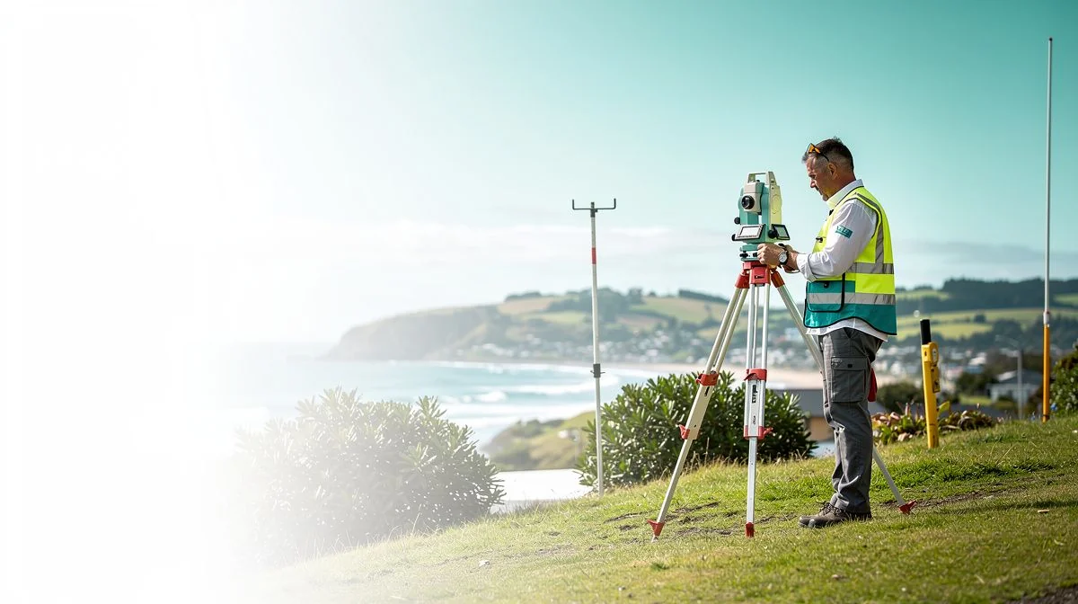
Finding the Right Land Surveyor in Whakatane
Whether you’re building a new home in one of Whakatane’s growing subdivisions, subdividing a section out along the coast, or simply need a boundary re‑pegged before selling, a good land surveyor is essential. Surveyors are the people who turn paper plans into physical reality. They measure, map, and legally define your land – and their work underpins everything from building consents to property titles.
In the Bay of Plenty, especially around Whakatane, you’ll find a handful of experienced surveying firms. But not all surveyors are the same. Some specialise in rural work, others in residential subdivisions, and a few focus on engineering surveys for infrastructure projects. Knowing what to look for – and what to ask – can save you time, stress, and money.
This page covers the practical things you need to know when hiring a land surveyor in Whakatane. We’ll walk through the qualities to check, questions to ask, tips for a smooth project, and a realistic view of costs and quotes. Let’s get into it.
What to Look for When Hiring a Land Surveyor in Whakatane
Licensing and Qualifications
In New Zealand, land surveyors must be either a Licensed Cadastral Surveyor (LCS) or work under the supervision of one. Cadastral surveyors are legally authorised to define boundaries and prepare plans for the LINZ (Land Information New Zealand) title system. Always confirm that the person or firm you’re considering holds a current LCS licence. You can check this on the Cadastral Surveyors Licensing Board website or simply ask the firm.
Local Knowledge
Whakatane has its own quirks – coastal erosion zones, flood‑prone areas near the Whakatane River, Māori land titles, and varying council rules across the wider Bay of Plenty region. A surveyor who works regularly in the area will know which council officers to talk to, which records to pull, and how to handle tricky topography. Ask how many projects they’ve done within a 20‑km radius of the Whakatane CBD.
Insurance and Professional Membership
Any reputable surveyor will carry professional indemnity insurance and public liability insurance. They should also be a member of Survey and Spatial New Zealand (S+SNZ) – the industry body that sets professional standards. Don’t be shy about asking for proof of insurance. It protects you if something goes wrong, like a boundary error that needs correcting later.
Range of Services
Different projects need different survey types. Common services include:
- Boundary surveys – re‑establishing pegs, resolving encroachments
- Topographical surveys – mapping contours, trees, services for design
- Subdivision surveys – splitting land into new titles
- Set‑out surveys – marking where a new building will go
- Engineering surveys – for roading, drainage, earthworks
Choose a surveyor who regularly does the type of work you need. A subdivision specialist might not be the best fit for a simple boundary re‑peg.
Key Questions to Ask Before Hiring
Before you sign any engagement letter, take a few minutes to run through these questions. They’ll help you avoid surprises and make sure the surveyor understands your project.
- “Are you a Licensed Cadastral Surveyor, and can I see your licence?” – Straightforward, but worth confirming early.
- “How long have you been working in Whakatane or the wider Bay of Plenty?” – Local experience matters.
- “Can you provide a fixed‑price quote for the full scope of work?” – Survey costs can balloon if unexpected issues arise. A fixed price – or at least a detailed estimate – gives certainty.
- “What’s the expected timeline from start to finish?” – For a simple boundary survey, it might be a few weeks. A subdivision could take several months, depending on council processing.
- “Who will be doing the fieldwork?” – Sometimes the senior surveyor is only in the office; a technician or cadet does the on‑site measurements. That’s fine, but you should know who’s turning up.
- “What happens if the survey reveals a boundary dispute or an encroachment?” – A good surveyor will explain the options – negotiation, formal dispute resolution, or adjusting the plan – and whether additional costs apply.
- “Do you handle the council and LINZ lodgement as part of the fee?” – Some surveyors include submissions, others charge separately. Clarify this upfront.
These questions aren’t exhaustive, but they cover the main bases. If a surveyor hesitates or gives vague answers, consider that a red flag.
Tips for Getting the Best Results
Be Clear About Your Project Goals
Tell the surveyor exactly what you’re planning. Are you building a sleepout, a full house, or a garage? Subdividing into two lots or ten? If you’re buying land, say whether you’re doing due diligence or need a full topo for design. The more context you give, the more accurate the quote and the fewer change‑orders later.
Get the Paperwork Ready
Before the surveyor arrives, dig out your property title (you can get it from LINZ for a small fee) and any existing survey plans you have. If you’ve had a recent valuation, any old LIM (Land Information Memorandum) from the Whakatane District Council, or previous correspondence about boundaries, hand it over. It saves the surveyor time – and time is money.
Walk the Property Together
If possible, take the surveyor for a walk around your section. Point out existing fences, trees, drains, and anything you think might influence boundaries. Surveyors are observant, but you know your land best. A quick on‑site chat can reveal issues that a map check might miss.
Check Council Requirements Early
For subdivision or building work, the Whakatane District Council has specific requirements around survey plans, geotechnical reports, and stormwater management. Ask your surveyor what they already know about these requirements – and if they’re unsure, suggest they talk to council staff before starting. It can avoid re‑work and delays.
Communicate in Writing
Email is fine for most updates, but any changes to scope, budget, or timeline should be confirmed in writing. A quick note after a phone call (“Just to confirm we agreed that the extra boundary peg would be an additional $X”) keeps both sides on the same page.
A Note About Costs and Getting Quotes
Land surveying isn’t cheap, but it’s one of those jobs where paying too little can cost you more in the long run. A poorly done survey might lead to incorrect boundaries, a rejected subdivision plan, or even legal disputes.
That said, costs vary widely depending on the type of survey, the size and vegetation of the property, and how much research the surveyor needs to do. For example:
- A simple boundary re‑peg on a clear suburban section might cost anywhere from $800 to $1,500.
- A full topographical survey with detail and contours could run $2,000 to $5,000 or more.
- A bare‑land subdivision (splitting one lot into two) often costs between $5,000 and $15,000, depending on council fees, geotechnical input, and complexity.
These are typical ranges for the Bay of Plenty region, but they can change – especially with inflation and high demand for construction services. Always get at least three quotes from different surveyors in Whakatane. Compare not just the price but the

The ValueHub Team built this site because finding clear, unbiased financial information in New Zealand was harder than it should be. Every guide is based on real research — we compare the actual fees, terms, and fine print so you don't have to. Our tip: shop around every year, read the policy docs, and never assume loyalty gets you the best deal.— The ValueHub Team
Try our Calculators
Use these free tools to crunch the numbers:
PAYE Calculator
Calculate your take-home pay after PAYE tax, ACC, KiwiSaver, and student loan deductions.
Compound Interest Calculator
See how your savings grow with compound interest over time. Free NZ compound interest calculator with yearly, monthly, and weekly compounding options.
Mortgage Repayment Calculator
Calculate your weekly, fortnightly, or monthly mortgage repayments. Free NZ mortgage calculator — try different rates, terms, and repayment frequencies.
Term Deposit Calculator
Calculate your term deposit returns before you lock in. Compare interest earned across different terms and rates with ValueHub's free calculator.
Savings Goal Calculator
Calculate how long it will take to reach your savings goal — and what monthly deposit you need to get there. Free NZ savings planner.
Credit Card Repayment Calculator
See how long it really takes to pay off your credit card — and how much interest you could save by paying more each month. Free NZ calculator.
Land Surveyors in Other Cities
Best Land Surveyors in Auckland
Best Land Surveyors in Wellington
Best Land Surveyors in Christchurch
Best Land Surveyors in Hamilton
Best Land Surveyors in Tauranga
Best Land Surveyors in Dunedin
Latest Guides & Reviews
US Dollar to NZD: A Practical Guide for Kiwis
Compare the true cost of buying USD in NZ. We reveal the fees, margins, and hidden charges banks, Wise, and airport desks add to every US dollar transfer.
reviewUnderstanding NZ Council Rates
Follow a single rates dollar from your bank account to see where it really goes and how councils set your bill.
comparisonBest Gold and Platinum Credit Cards in New Zealand
Best gold and platinum credit cards in NZ compared: when a $150 annual fee pays for itself through travel insurance and perks.
guideBest Investment Managers in New Zealand
Compare Fisher Funds, Milford, and Pie Funds in this practical guide to vetting NZ investment managers before you trust them with your money.